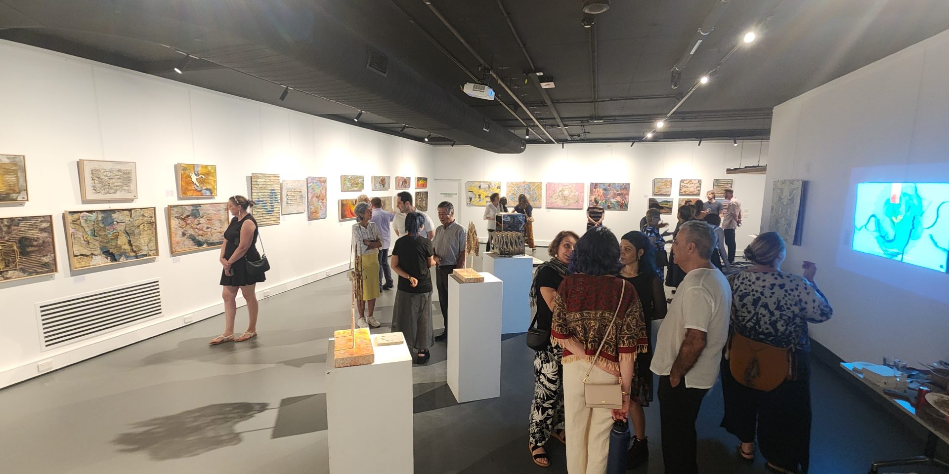
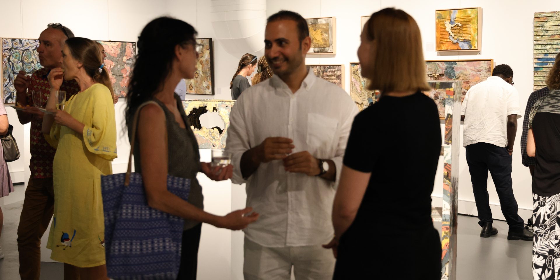
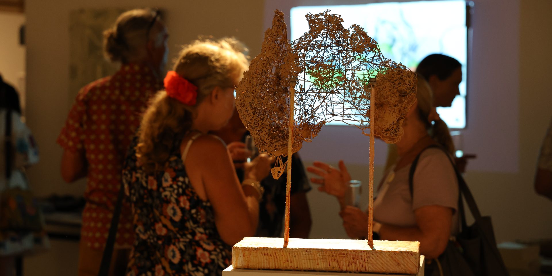
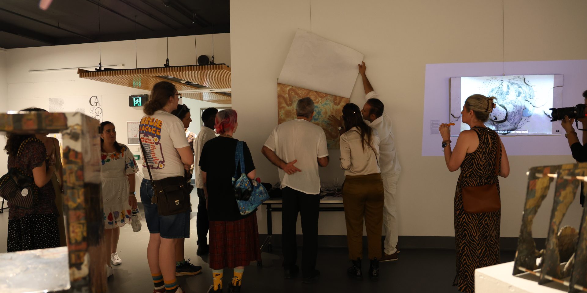
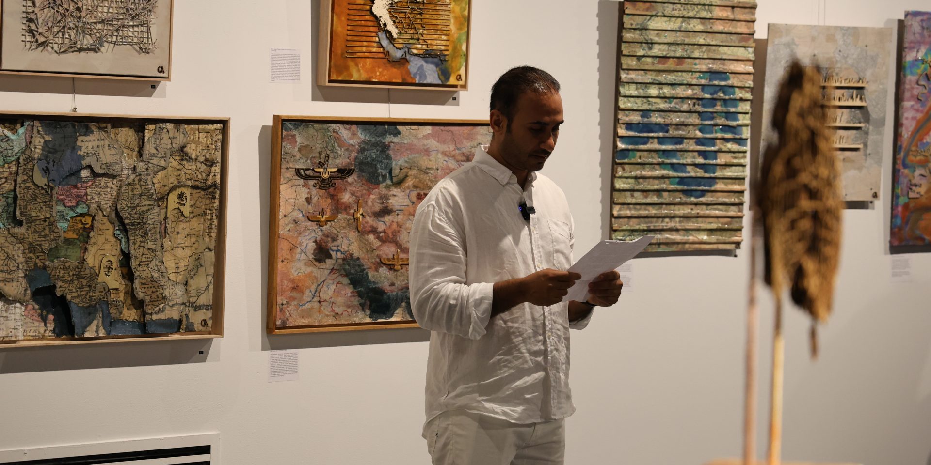
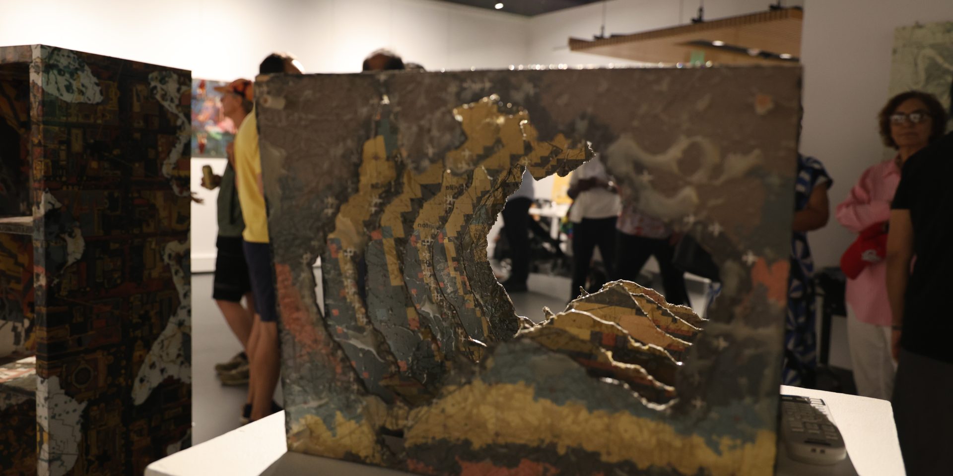
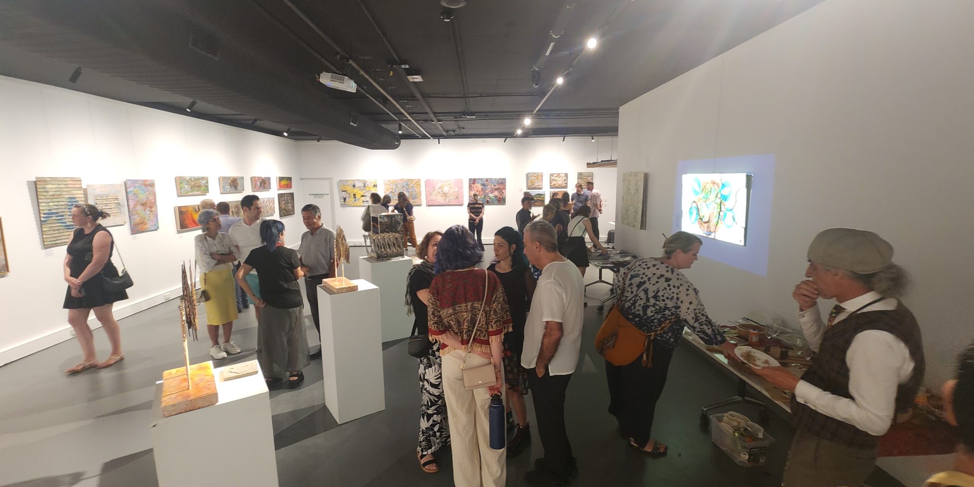
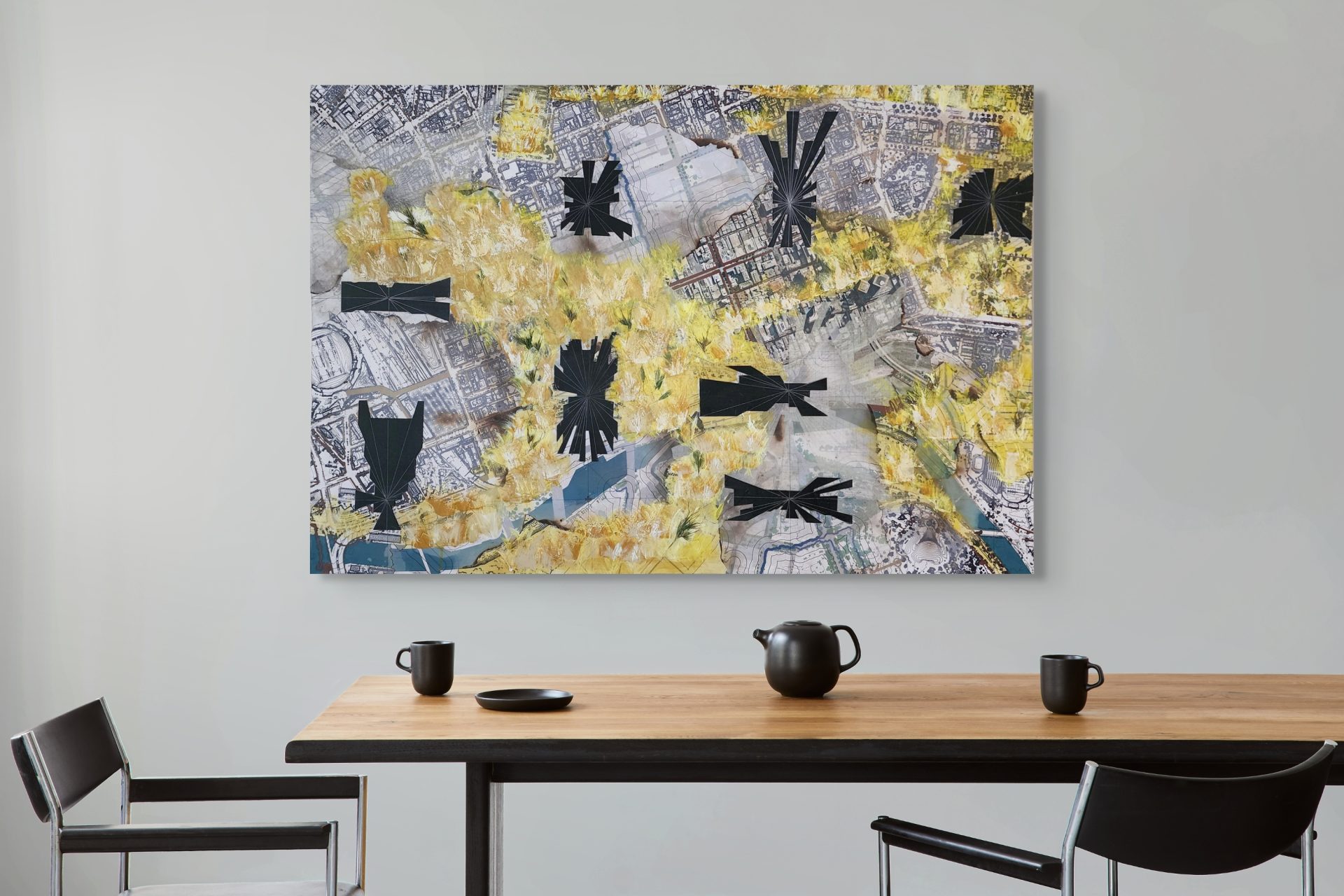
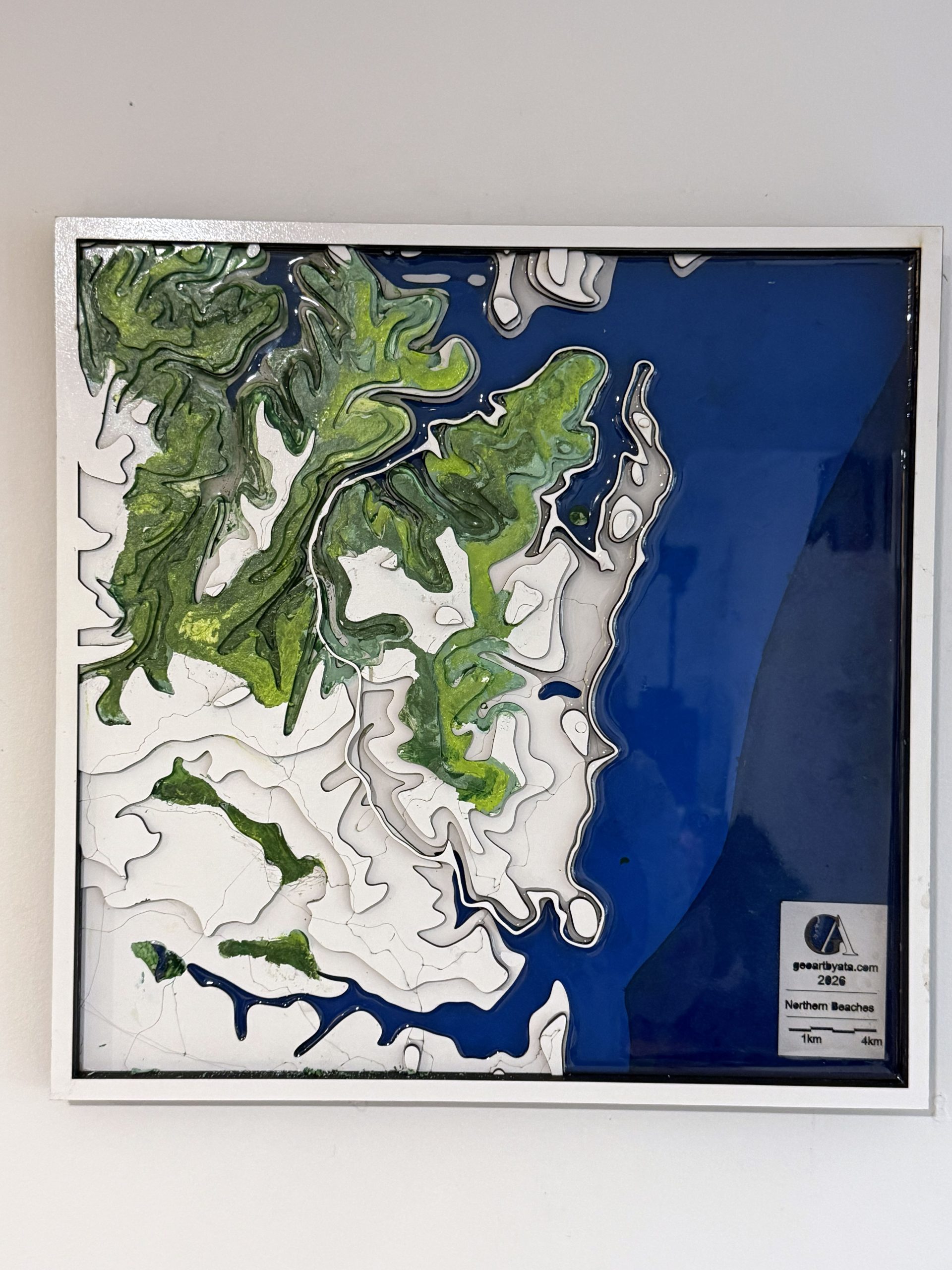
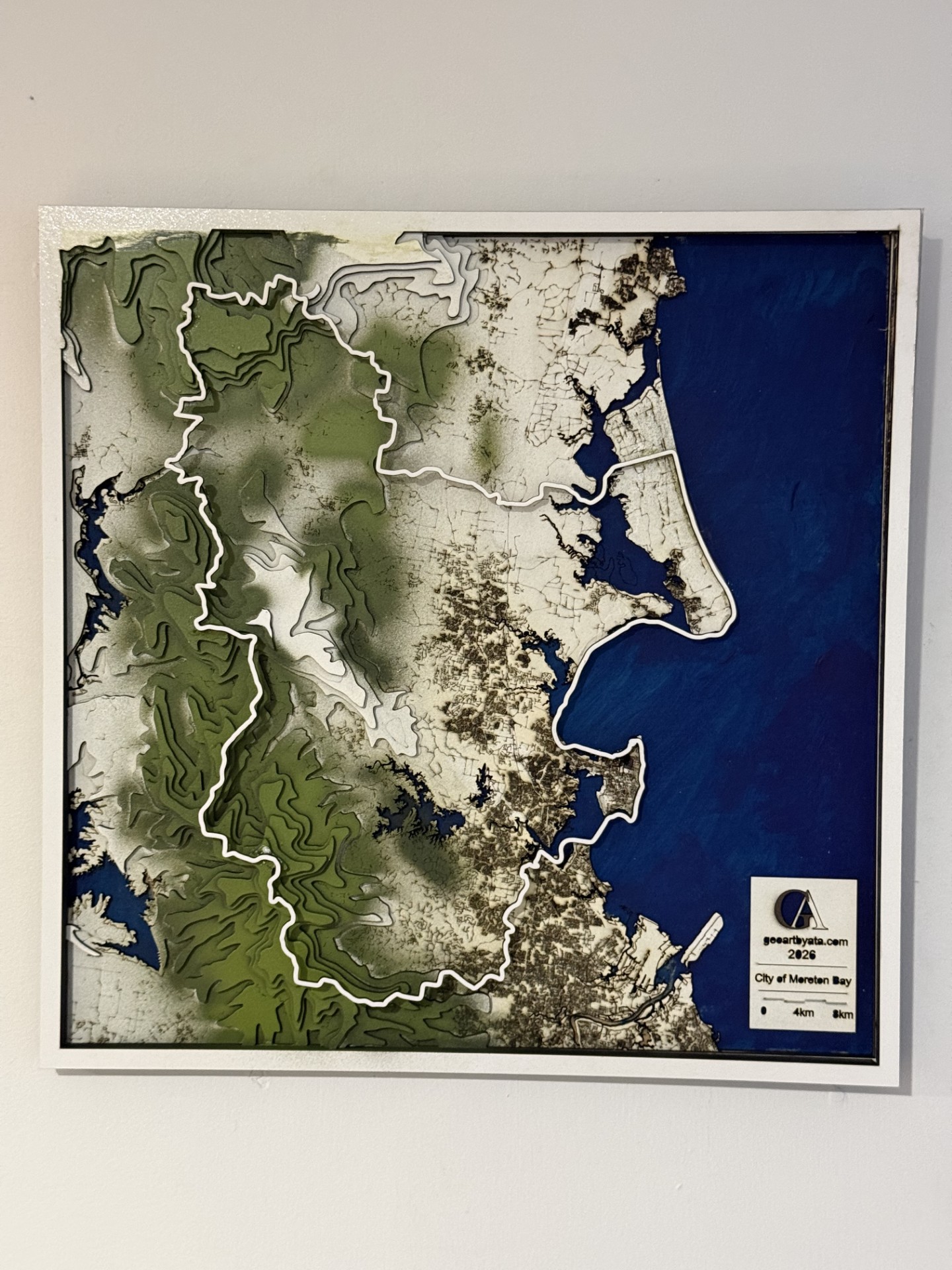
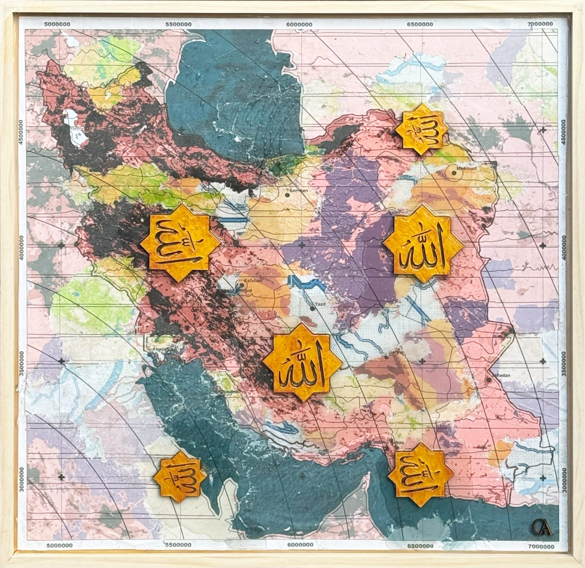
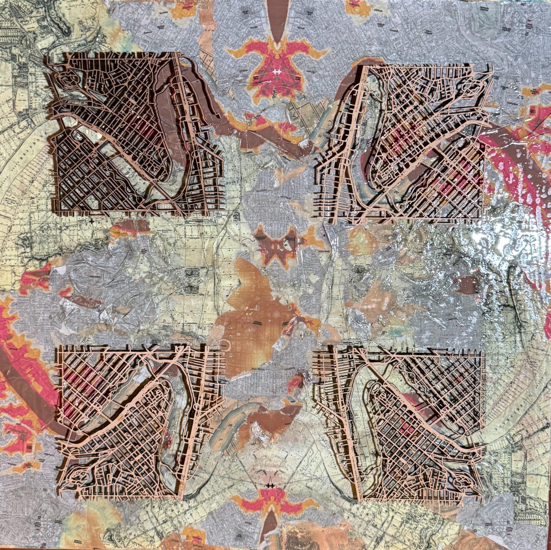
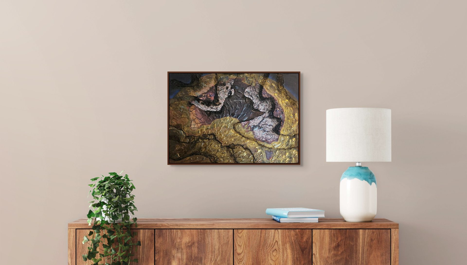
Geoart is a transformative fusion of mapping and design, where science and creativity merge to weave intricate landscapes of data, inviting the public into deeper dialogues about nature, culture, and the future of our planet.
By fusing science and culture, Geoart opens up broader conversations with the public, bridging natural and cultural perspectives. These engagements foster essential collaborations in addressing today’s global challenges.
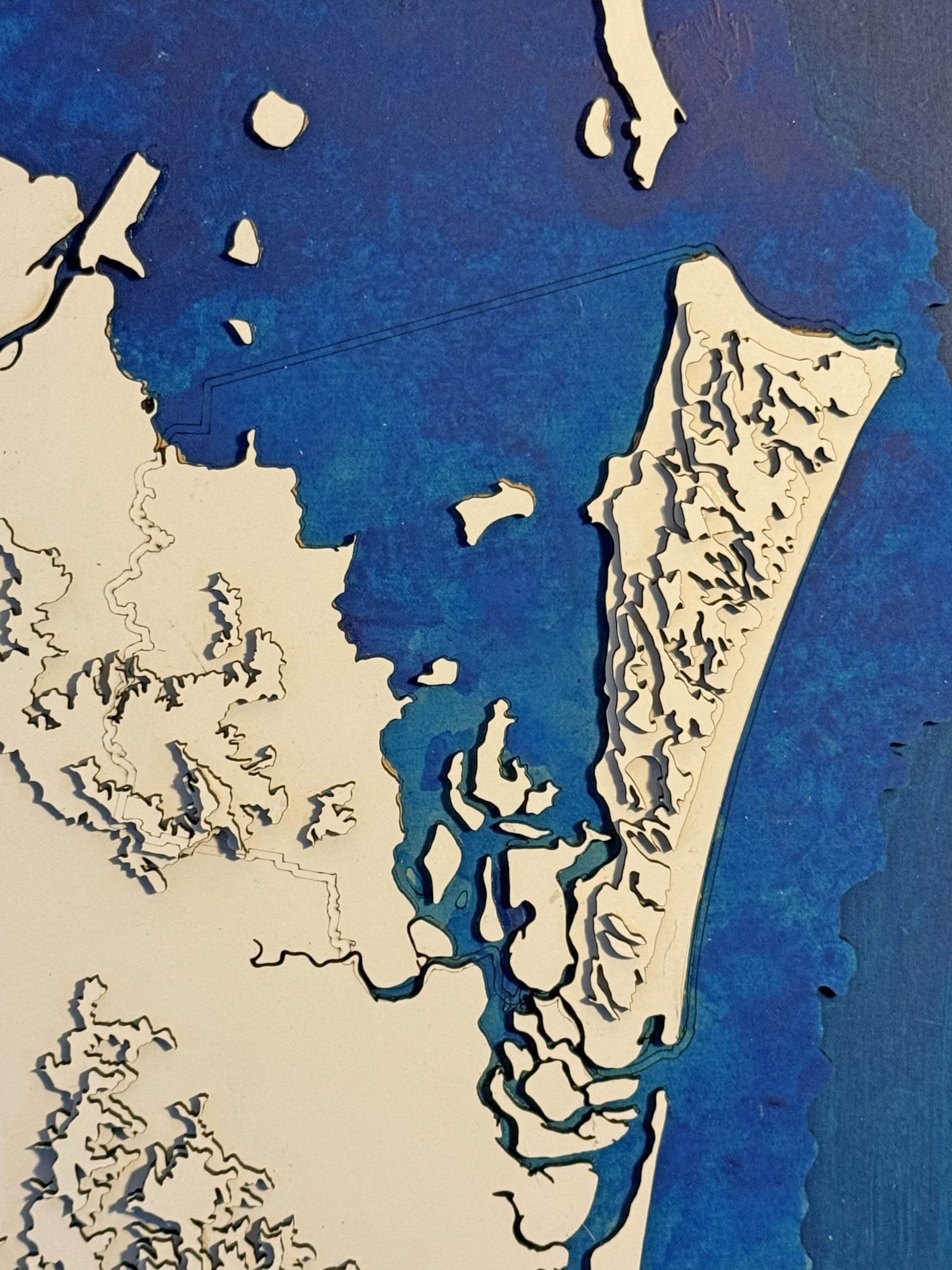
Built on the foundations of Geographic Information Systems (GIS), Geoart is both multi-layered and multifaceted, deeply connected to data visualisation, modelling, and mapping.