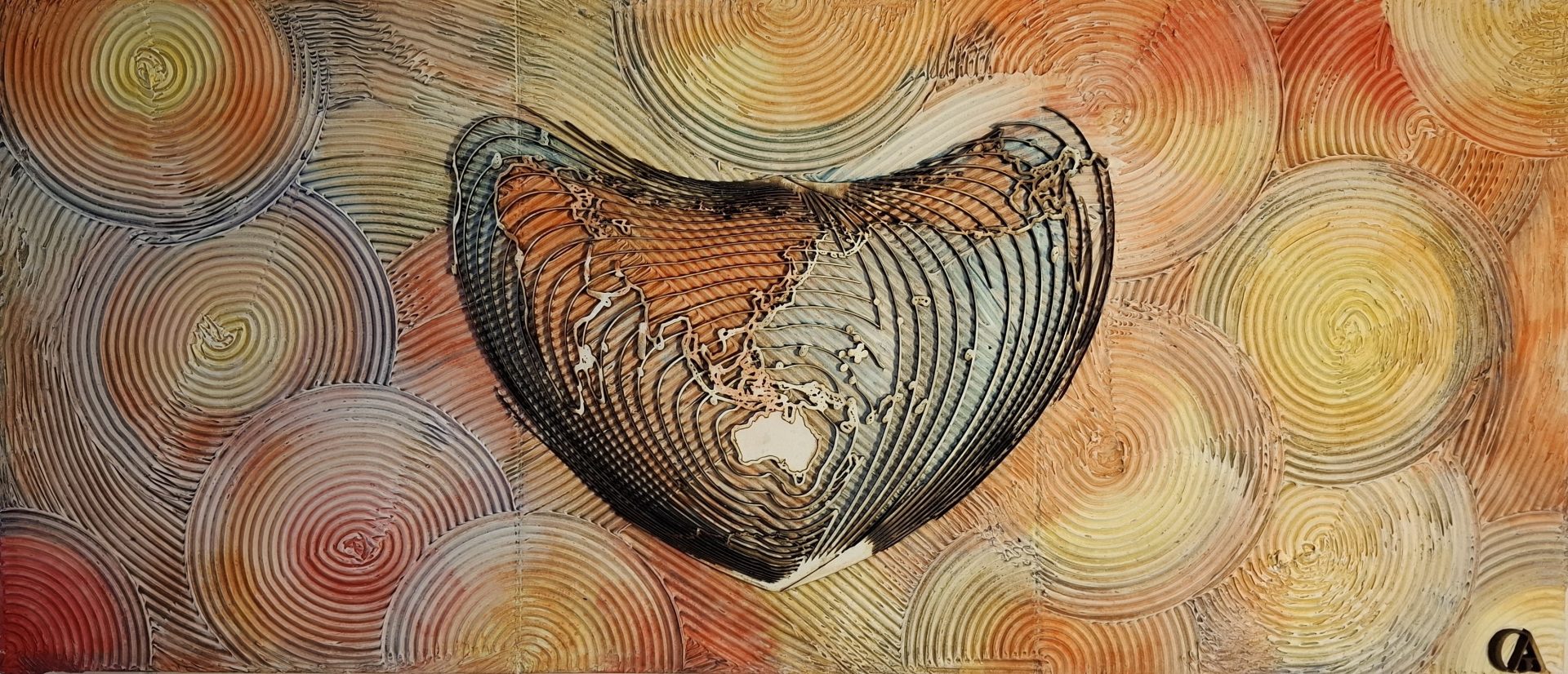
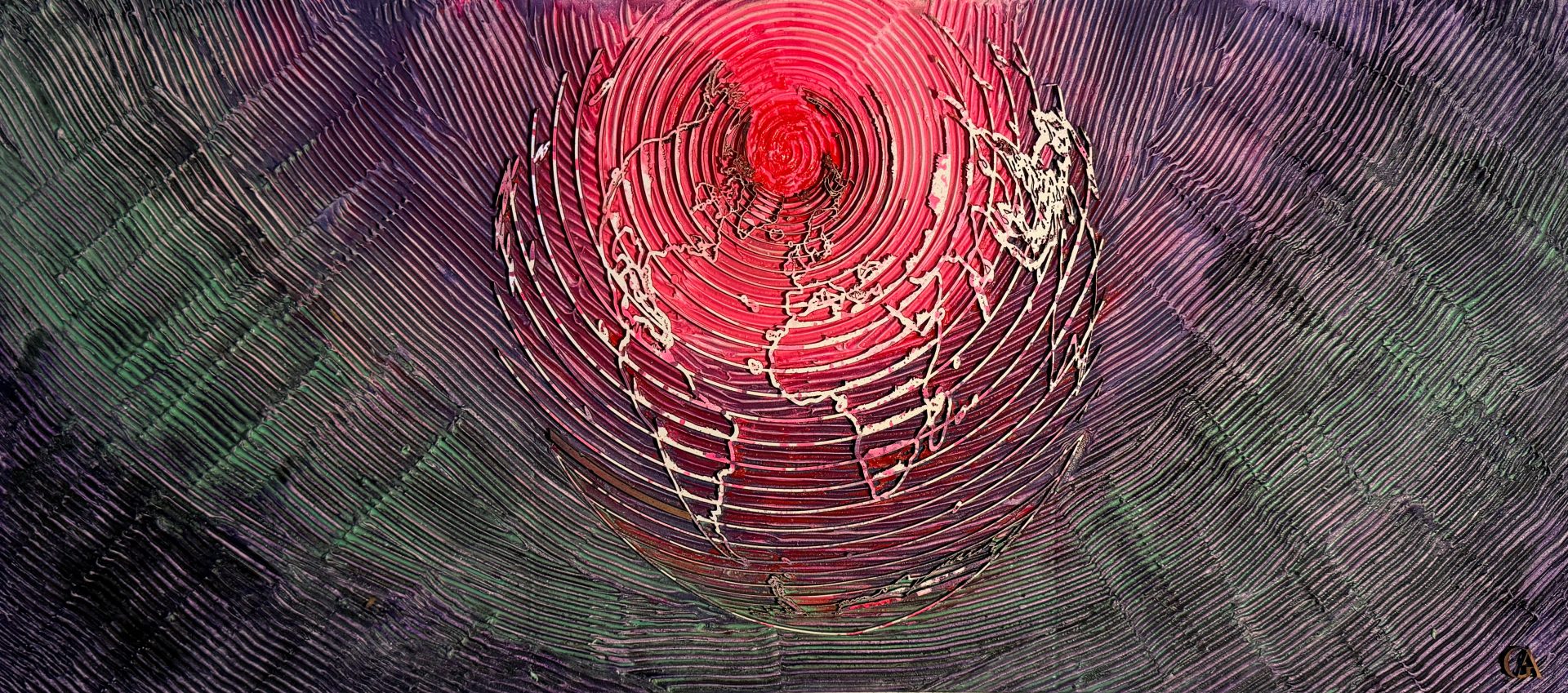
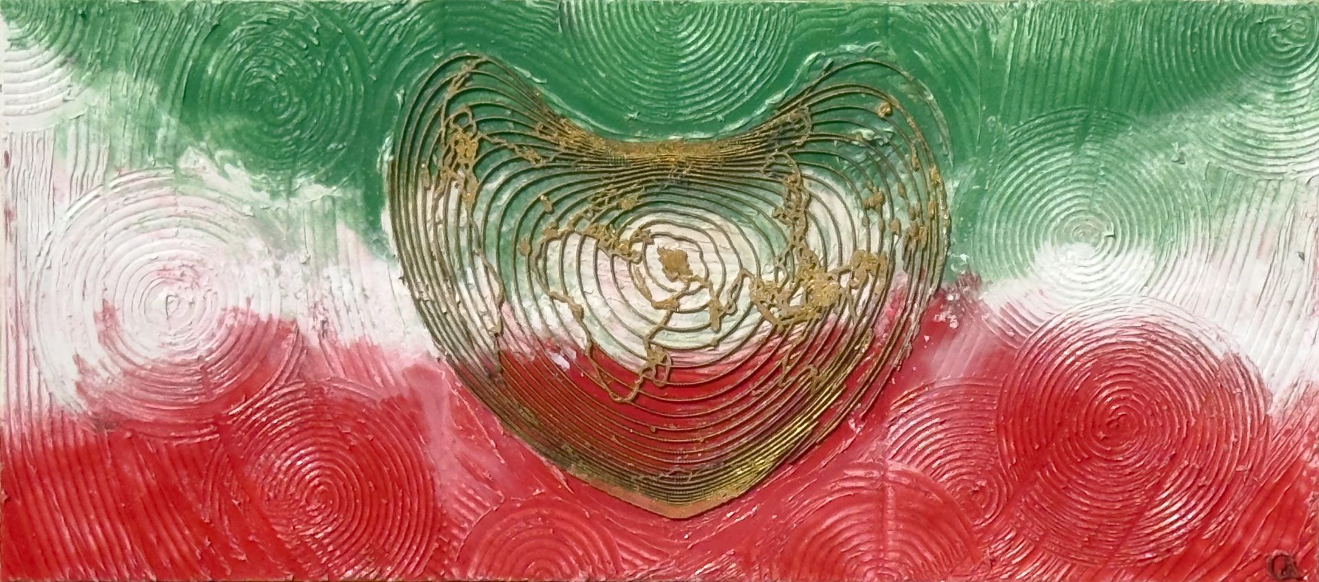
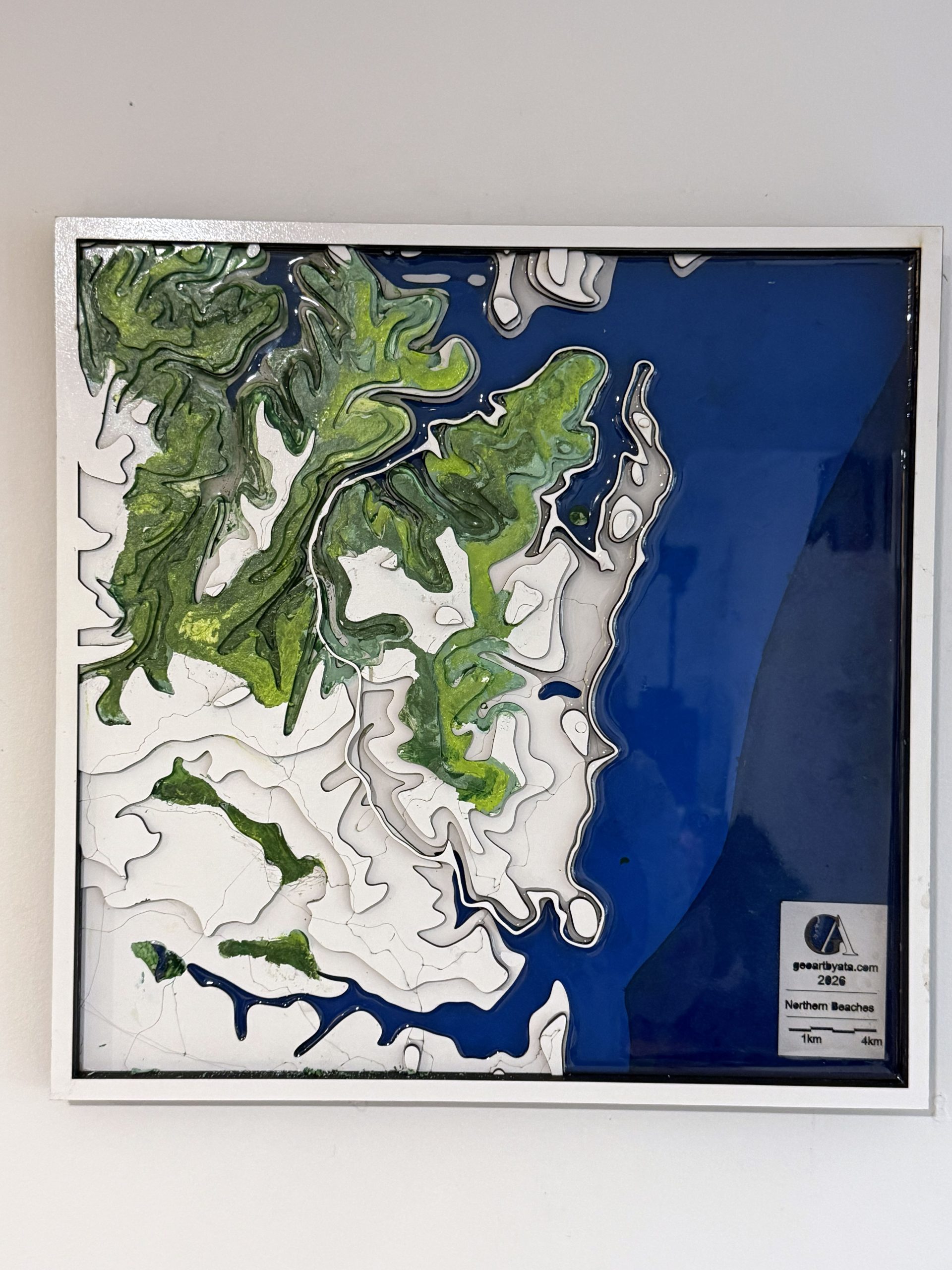
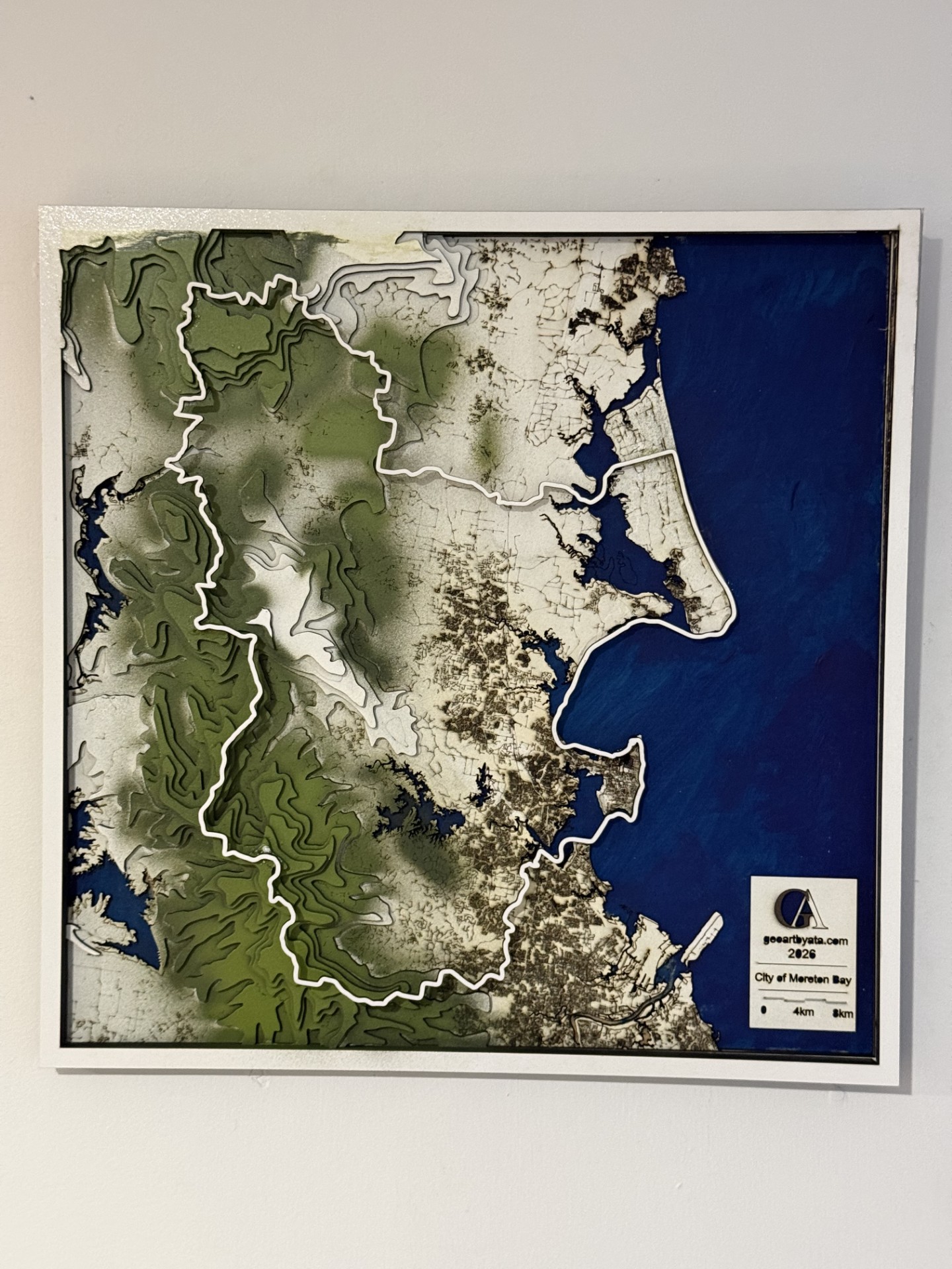
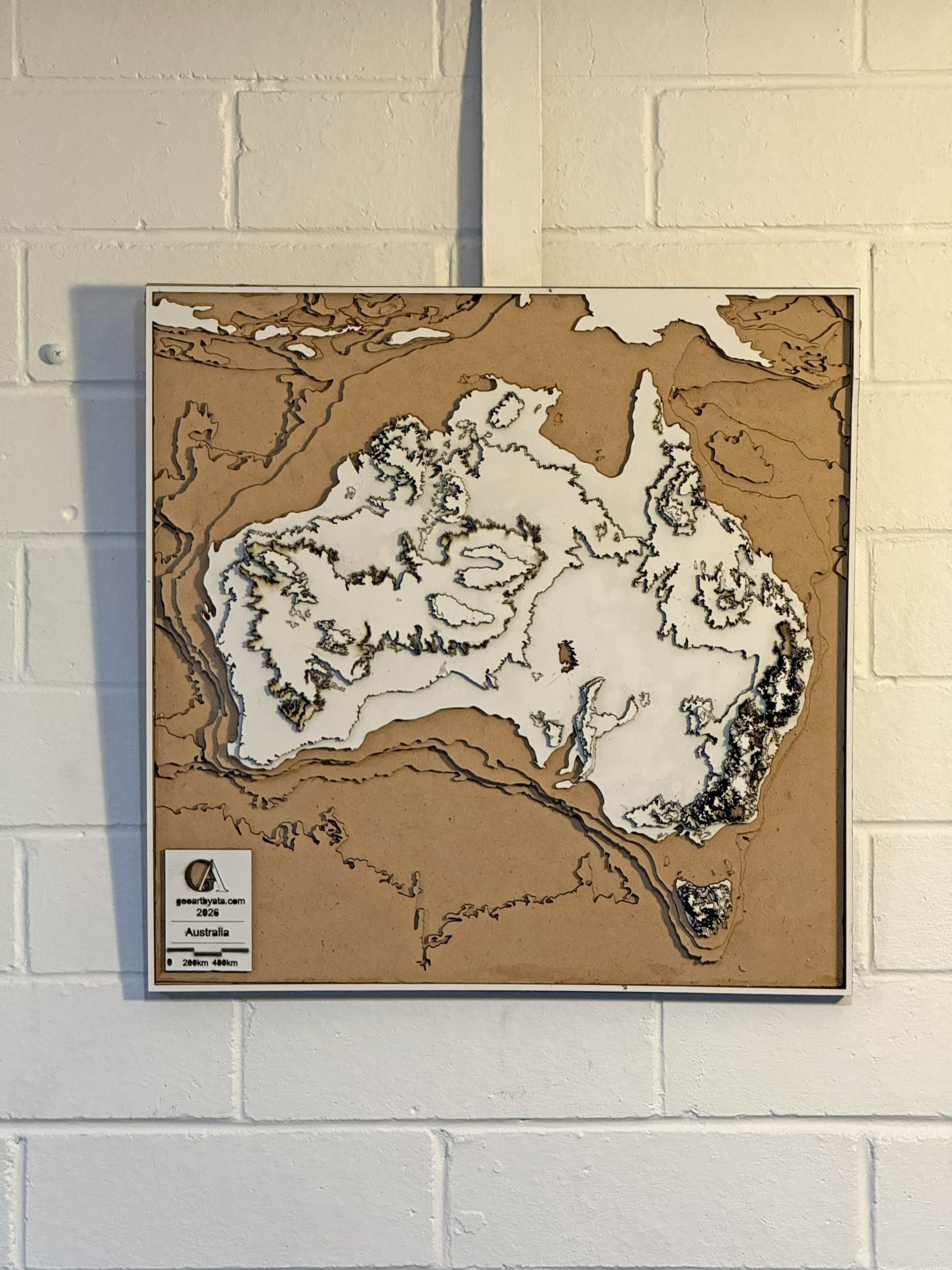
Through GeoArt, I strive to tell the stories of our landscapes—stories shaped by time, culture, and climate.
Ata weaves the intricate threads of geography, art, and storytelling into vivid narratives that transcend boundaries. Through his GeoArt practice, he bridges the global and the local, the abstract and the tangible, capturing the essence of landscapes shaped by time, culture, and climate. His work invites audiences to engage deeply with the earth’s stories, blending data with emotion to illuminate the interplay between identity, resilience, and the ever-changing environment.
I invite collaborators from all disciplines—artists, scientists, planners, and communities—to join me in this journey of reimagining our world through the lens of art and geography.