Gallery
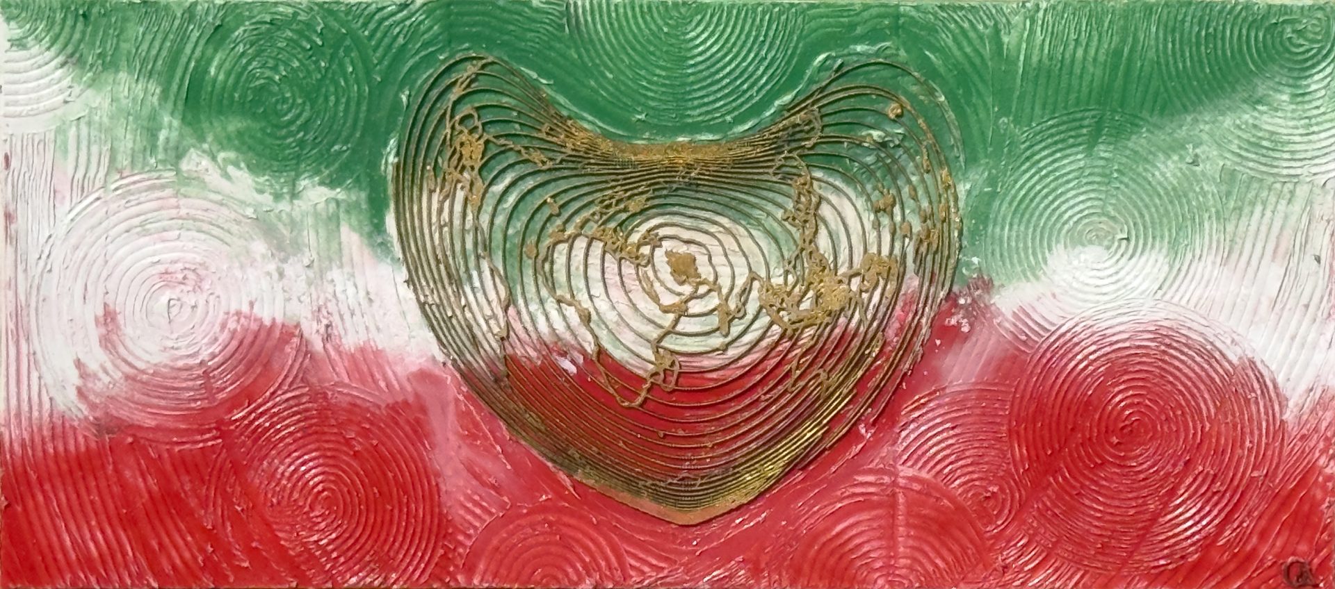
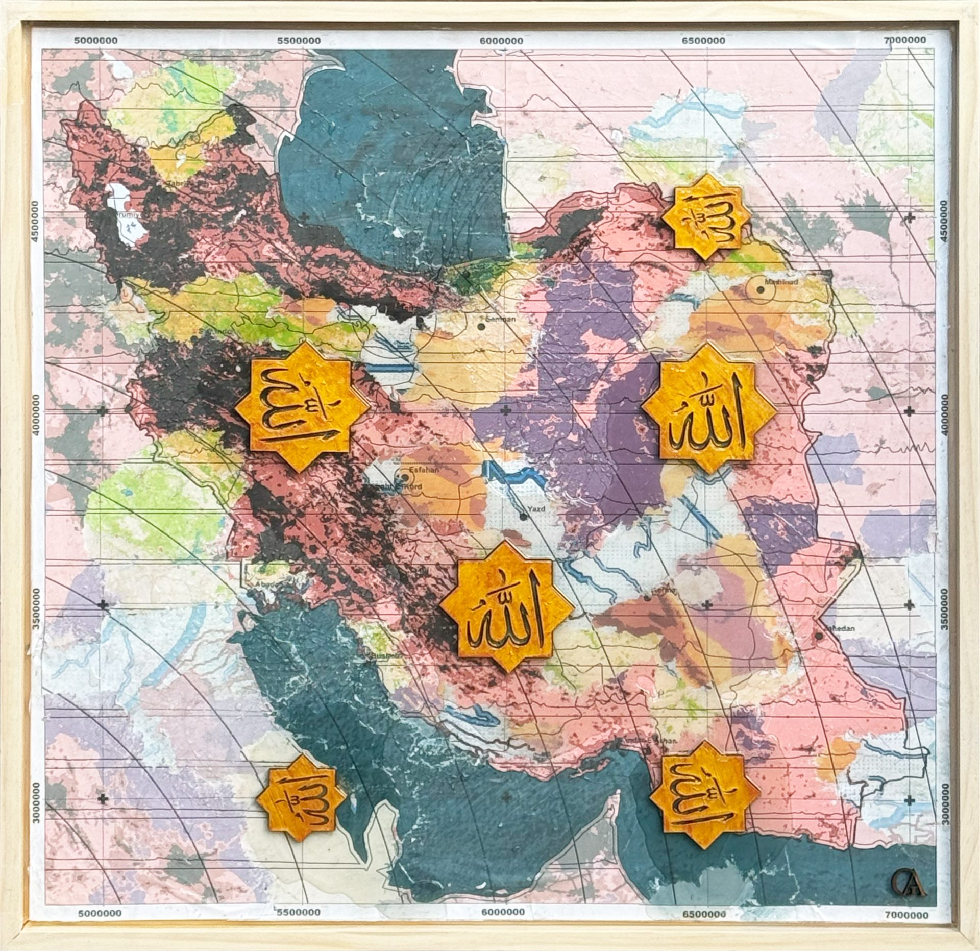
GeoArt transforms GIS (Geographic Information Systems), mapping and spatial data into contemporary GIS art and map art. Developed through Ata Tara’s background in landscape architecture, geodesign and spatial research, the practice explores how geography can become a cultural, visual and material form of storytelling.
This gallery brings together more than 50 original GeoArt works spanning Australia, Iran, the Pacific and global landscapes. Through cartography, spatial data, print, laser-cutting, resin and mixed media, the artworks explore landscape, culture, identity, climate and our emotional relationship with place.